


Where the F*** Is the Lighthouse?
MST. Chapter 5. Segment 18 (Part 5)

This is my serialized story of hiking the Mountains-to-Sea Trail (MST), a 1,175-mile route that crosses the state of North Carolina. I’m hiking west from Jockey’s Ridge near Nags Head on the Outer Banks of the Atlantic Ocean to Kuwohi (formerly Clingmans Dome) near the Tennessee border in the Great Smoky Mountains. If you’d like to start at the beginning of my story, click here.
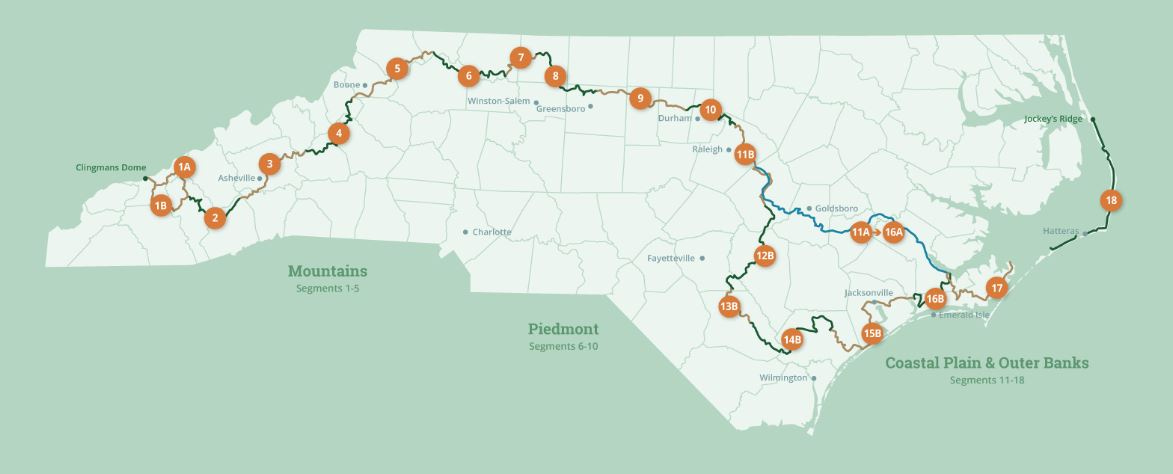
See the Mountains-to-Sea map at the bottom for reference.
Day 3 afternoon. In leaving Avon at 1:30 in the afternoon, after sitting in my postage stamp of shade for an hour, I realize this will take power, resolve, and a lot of water. I fill my camelback and buy an extra bottle to carry. Seven miles on the beach and seven miles through the Buxton coastal forest on the other side of the Hatteras Lighthouse and I will finally be at the Frisco Campground.
I am a little burned out, though, and each time I come to a staircase onto the beach, I pray it will be the one to take me over the dunes to the lighthouse - which it never is - not until two hours later when my watch indicates I have walked literally all seven miles of the seven miles the MST guidebook says I need to walk. Damn!
At 4:00 PM I sit for an hour at the Cape Hatteras Lighthouse Visitors Center and enjoy cold water from the metal fountain outside the bathrooms. Cold water for free! What a nice world we live in!
The only negative, I discover, is that the park rangers sell no snacks - no Lays potato chips and no Gatorade. Bummer! I would have to continue my journey on the tacos I could barely keep down at lunch and the instant oatmeal I ate back at 6:30 AM that morning. My trail mix and the last of Karen’s homemade powerballs (that are now melted into a brown gooey mash) will have to do.
By 5:00 PM I am ready for the Buxton Woods Coastal Reserve and start my final seven miles on a beautiful forest floor that, unfortunately, turns to sand about halfway into the walk. Still, it is nice to pull into the campground around 7:00 PM knowing my day is done.
Unfortunately it takes another 30 minutes to find my campsite. In the end I simply give up and sit with my pack off my back on the steps of the campground bathhouse, drinking more cold water, and stare at the Frisco map I pull up on my cell phone. Surprisingly, in looking up , I realize my site is right across from me at the bathhouse.


Finally, I have completed my day and accomplished my goal of 30 miles. In celebration I happily eat my Mexican Quinoa Bowl dinner before getting into my tent for the night. A new, beautiful dawn will be waiting for me in the morning.
Click here to read the next chapter.
Click here to read the previous chapter.
Map of the Mountains-to-Sea Trail. This post focuses on Segment 18.
Way to persevere Jonathan 💪
Haha! That was one crazy day!