


Onto the Neusiok
MST. Chapter 10. Segment 16

This is my serialized story of hiking the Mountains-to-Sea Trail (MST), a 1,175-mile route that crosses the state of North Carolina. I’m hiking west from Jockey’s Ridge near Nags Head on the Outer Banks of the Atlantic Ocean to Kuwohi (formerly Clingmans Dome) near the Tennessee border in the Great Smoky Mountains. If you’d like to start at the beginning of my story, click here.
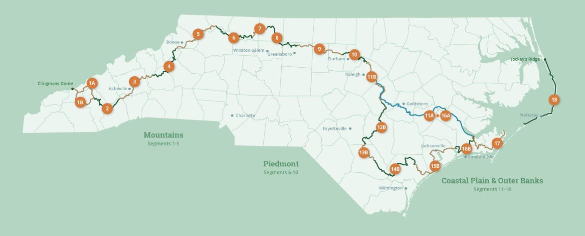
See the Mountains-to-Sea map at the bottom for reference.
Love the day before a thru-hike. This will be my second go-round, having finished segments 18 (the Outer Banks) and 17 (Down East) of the Mountains-to-Sea Trail three weeks earlier. Now, I am at REI for much needed necessities: bear spray, bear whistle, tick remover, insect repellent - you know, the last minute things that may save my life (though I didn’t see anything to chase off alligators) and all, I’m told, necessary for the Neusiok Trail. My backpack will soon be loaded and ready to go, as segment 16 (the Neusiok and the Croatan National Forest) awaits and, tomorrow, here I come.


Segment 16 of the 1,200 mile Mountains to Sea Trail consists of hiking the Neusiok Trail for twenty+ miles through the eastern section of the Croatan National Forest. This will be followed by a fifty-mile walk through the western section of the Croatan, one of four national forests in North Carolina and the only true coastal forest in the Eastern United States. According to its website, the Croatan National Forest's 160,000 acres consists of pine forests, saltwater estuaries, bogs and raised swamps, called pocosins. Bordered on three sides by tidal rivers and the Bogue Sound, the forest is defined by water, which provides a diversity of wildlife- from deer, black bears and turkeys to wading birds, ospreys and alligators.
Hence my quick trip to REI.
Day 8. My daughter Helen drops me off at the Neusiok Trail Head in the Oyster Point Campground on the banks of the Newport River. This is where I had ended my previous hike three weeks earlier. The Neusiok Trail winds more than 20 miles from a salt marsh on the Newport River to a sandy beach on the Neuse River. The Neusiok is the longest continuous trail in Eastern North Carolina and crosses cypress swamps, hardwood ridges, longleaf pine savannah and pocosin.
After many pictures and a quick goodbye, my hike begins with a sign-in board and the donning of a pair of recently purchase snake gaiters. My next five and a half hours are spent hiking up the trail eleven miles to the Dogwood Campsite.


I had hoped to arrive earlier, but the hike is slower than expected and my pack weighs a ton, especially with extra food, supplies and water - more than 10 pounds since my last outing. I recognize I cannot carry this much weight across North Carolina, but for now, the die is cast. I’ll have to adjust the next time I go out on the MST.
I pitch my tent in the early evening of the first of my four day-hike and spend a rather unenjoyable hour inspecting myself and removing what looks like twenty or so ticks that have jumped on my legs for the ride.
Click here to read the next chapter.
Click here to read the previous chapter.
Map of the Mountains-to-Sea Trail. This post focuses on Segment 16b.
Awesome - except for 20 ticks - damn