


Harmony Hall by Day
MST. Chapter 22. Segment 13 (Part 2)

This is my serialized story of hiking the Mountains-to-Sea Trail (MST), a 1,175-mile route that crosses the state of North Carolina. I’m hiking west from Jockey’s Ridge near Nags Head on the Outer Banks of the Atlantic Ocean to Kuwohi (formerly Clingmans Dome) near the Tennessee border in the Great Smoky Mountains. If you’d like to start at the beginning of my story, click here.
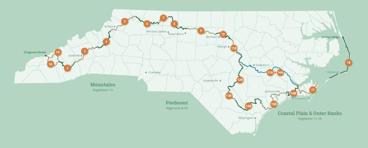
See the Mountains-to-Sea map at the bottom for reference.
The lesson for the day: never arrive at a destination after dark. Yesterday my journey to Harmony Hall Plantation from the town of White Lake got off to a late start and even though I only had twenty-one miles to walk, stopping to shop for essentials, stepping through the swamp at Turnbull Experimental Forest, treading lightly on the stoney trail through Jones Lake State Park, as well as hiking through the Bladen State Forest, slowed me down much more than I realized. By the time I arrived at Harmony Hall, the sun had already set. When I finally put up my tent on the Plantation grounds, darkness obscured most of the facilities. As a result, I didn’t have a chance to explore the plantation or to actually see the manor house other than as a silhouette.
Waking up early this morning, I purposefully decide to wait until after the sun rises to break camp and pack my backpack. For the day ahead I plan to hike sixteen miles, so I take the time before I start to walk the plantation grounds.


I realize at one point how pleased I am after all to have spent the night here, how much I enjoy the play of the early morning sun on the grounds, and the fun I have looking into each of the buildings—a school, a church, a grocery store, and, of course, the working sheds. To my mind, the Bladen Historical Society has taken great care in recreating the plantation, and I find myself, as a layperson/tourist, impressed with the result. So too, once again, I can’t help but be delighted with the Mountains-to-Sea Trail and the creators who had the foresight to bring hikers to this location.


At times I find I question where the trail is taking me, but when it is all said and done, it’s clear I am hiking from one unique, historic location, or impressive natural area, to another, following a route that winds through the great state of North Carolina. I would never in a ‘million years’ think of visiting (or even know of) some of the places I have been to, but I am grateful to be in the embrace of this funny and peculiar “path” so thoughtfully laid out for those of us willing to take it.
I look forward to the day ahead and where, too, the trail will lead me.
Click here to read the previous chapter.
Click here to read the next chapter.
Map of the Mountains-to-Sea Trail. This post focuses on Segment 13b.
So glad you (we) got to see it in the daylight. :)
Thanks for sharing your experience….what a joy to be alive, so alive, and have this fling with nature. Blessings ! 👍♥️